Using Supercomputers to Improve Seismic Hazard Maps
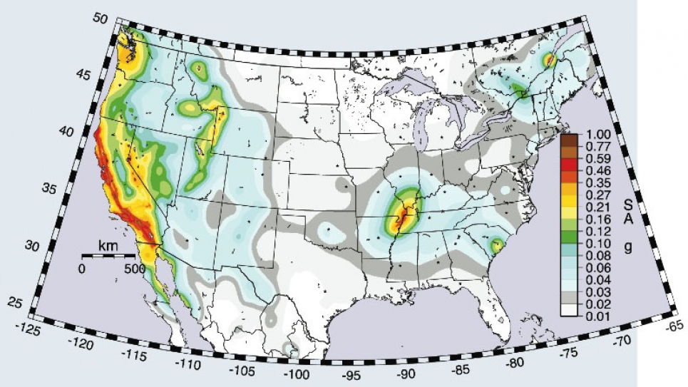
The U.S. Geological Survey produces color-coded National Seismic Hazard maps that estimate how seismic hazards vary geographically. Because the seismic hazard information on these maps is of vital importance for businesses, corporations, governments, and other public policy organizations, regular improvements and updates are critical.
An interdisciplinary team led by Thomas Jordan at the Southern California Earthquake Center (SCEC) is using millions of supercomputer hours at the Argonne Leadership Computing Facility (ALCF) to simulate earthquake ground motions for use in constructing better seismic hazard maps. Already, this group has used detailed three-dimensional models of earth’s crust to obtain simulation-based seismic hazard maps for Southern California. Jordan’s research group has also simulated “worst-case” earthquake scenarios for California that allow scientists to estimate seismic hazards for rare, but possible, earthquakes in California of magnitudes of 8.0 or larger.
Improved seismic hazard maps have broad national impacts. Access to leadership-class supercomputing facilities, like the one here at Argonne, makes this work possible.


